TWILLINGATE

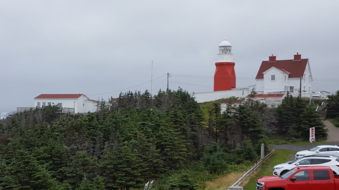
Twillingate is commonly known as the “Iceberg Capital of the World” due to the numerous icebergs seen from spring through much of the summer. It’s location along “Iceberg Alley” justifies its claim. Originally known as “Toulinguet”, the name was anglicized to “Twillingate” in the 1700’s, and the area thrives with ocean tours. Icebergs, whales and beautiful coasts abound. At virtually the northern most point of Twillingate Island is Longpoint Lighthouse, a Recognized Federal Heritage Building (1989). The town of Twillingate lies at the southern end of Twillingate Harbour.
L’ANSE AUX MEADOWS

L’Anse aux Meadows is a National Historic Site (1975), and is to date the only authenticated Norse site in North America. Virtually 1000 years ago (999 AD), a Norse expedition from Greenland landed and settled here. The settlement was never intended as a permanent site, rather it was a base-camp that was later called “Leifsbudir” (Leif’s booths). While it may seem a strange location at first, it is remarkable in that following the coast it was easy to relocate – in sight of Labrador and Belle Isle. The original expedition was led by none other than Leifur Eiríksson, according to the Sagas of Icelanders. The base-camp was clearly a ship repair station as well – with a smelting hut, charcoal kiln, boathouse and worn iron rivets having been excavated. Several sod housing huts, houses and two large halls have been excavated as well – the largest hall is virtually twice the size of Eirik the Red’s home in Greenland. The discovery and archaeological excavation of the site was conducted in the 1960s by Norwegian explorer Helge Ingstand and his archaeologist wife Anne Stine Ingstad. Anne Ingstad led an international team from Canada, USA, Norway, Sweden and Iceland to conduct the excavation. Very early on it revealed remains of common everyday Norse items.

BONNE BAY

Bonne Bay is a double-armed fjord. Fjords are carved by glaciers and have very steep walls that extend deeply below the water surface. Bonne Bay is home to a great diversity of marine fauna and flora, containing both arctic and temperate species because of its location at the boundary of the limits of the two.
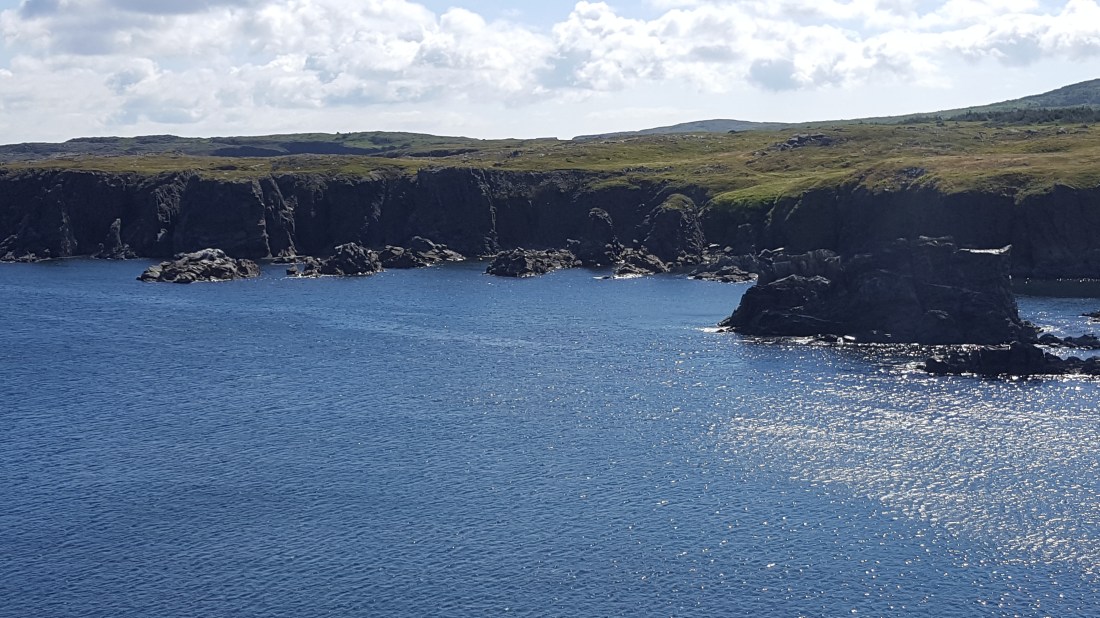
DUNGEON PROVINCIAL PARK

The Dungeon was likely formed by a collapse of the roof of a sea cave. Coastal erosion formed the entrances and former cave into what is known as a “gloup”. The rocks are a combination of igneous and sedimentary rocks. This combination of rock types is common in the Bonavista Peninsula.